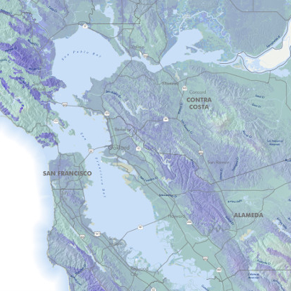
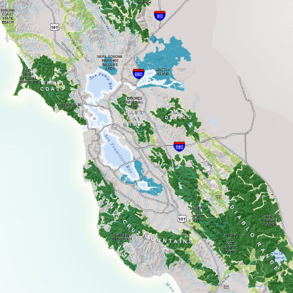
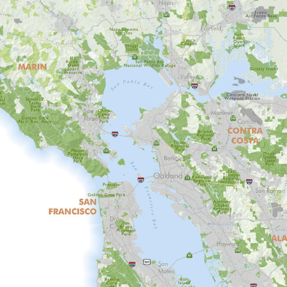
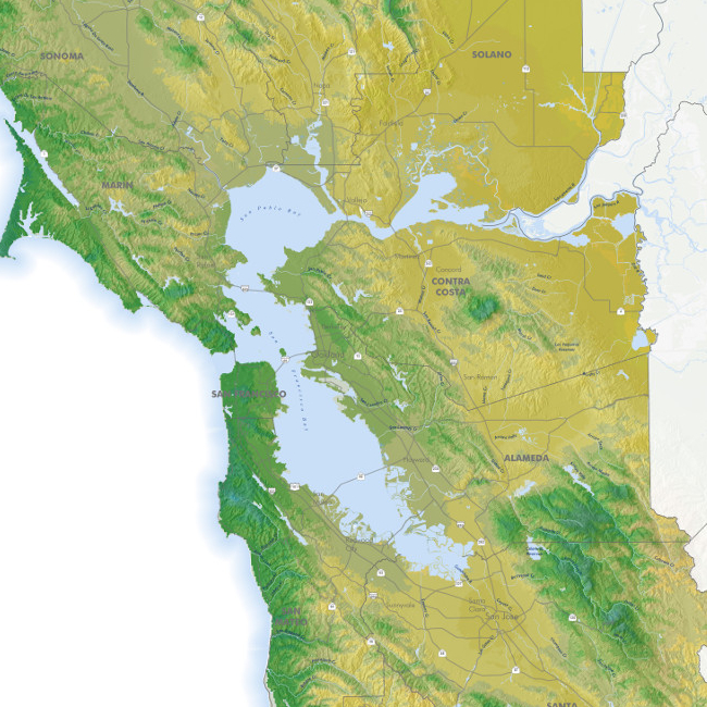
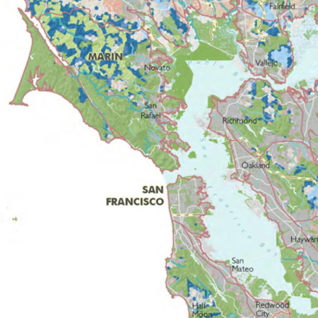
BAY AREA
For the purposes of the Upland Habitat Goals Conservation Lands Network, the Bay Area includes ten counties: the nine that touch the San Francisco Bay, along with Santa Cruz County.
BAY AREA OPEN SPACE COUNCIL
The Bay Area Open Space Council is a unique regional network of non-profit organizations, public agencies, businesses, and individuals working across the 10-county greater Bay Area to conserve, steward, and promote the Bay Area’s world-class natural and working lands. The CLN is a project of the Open Space Council.
BAYLAND HABITATS
Areas of historic tidelands that lie between the elevations of the high and low tides, including those areas that would be covered by the tides in the absence of levees and other structures. These lands were the focus of the Baylands Ecosystem Habitat Goals, a regional, ecosystem-based vision for habitat protection.
BIODIVERSITY
The complex of living organisms, their physical environment, the interactions among these organisms, and how they array themselves in the physical environment (Noss 1990, Redford and Richter 1999).
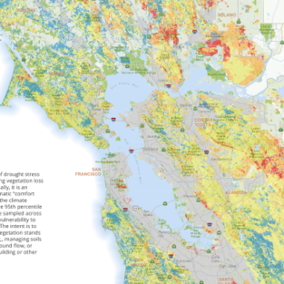
CLIMATIC WATER DEFICIT
A measure of the difference between the water demand of plants and the amount of water available in the soil. Climatic water deficit is a significant control on the types and distribution of plant communities and thus is key to understanding how changes in precipitation may affect plant communities over time. It integrates the combined effects of solar radiation, evapotranspiration, and air temperature on watershed conditions given available soil moisture derived from precipitation. It is quantified as the amount of water by which potential evapotranspiration (PET) exceeds actual evapotranspiration (AET). (Stephenson 1998)
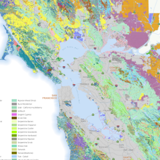
COARSE-FILTER/FINE-FILTER ANALYSIS
A common alternative to single-species approach to conservation. It is a process of mapping a network of lands that will maintain the biodiversity of a region. Identifying conservation targets begins with the selection of ecological communities as conservation targets. These act as the “coarse-filter” targets (Noss and Cooperrider 1994, Poiani et al. 2000). Focus teams made up of experts then add those species with unique ecological requirements (called “fine-filter” targets) not already captured by the conservation of those communities in which they are embedded.
CONNECTIVITY
The degree to which a landscape facilitates movement by organisms or processes; the antithesis of habitat fragmentation.
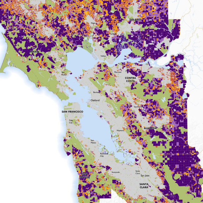
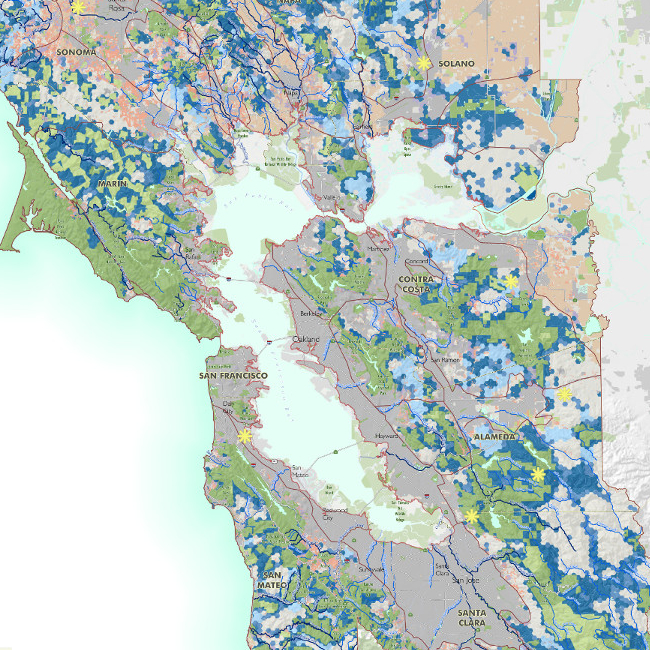
CONSERVATION LANDS
Areas protected for natural resource values by public purchase or easement, or private lands with a cooperative agreement and some level of stewardship for biodiversity.
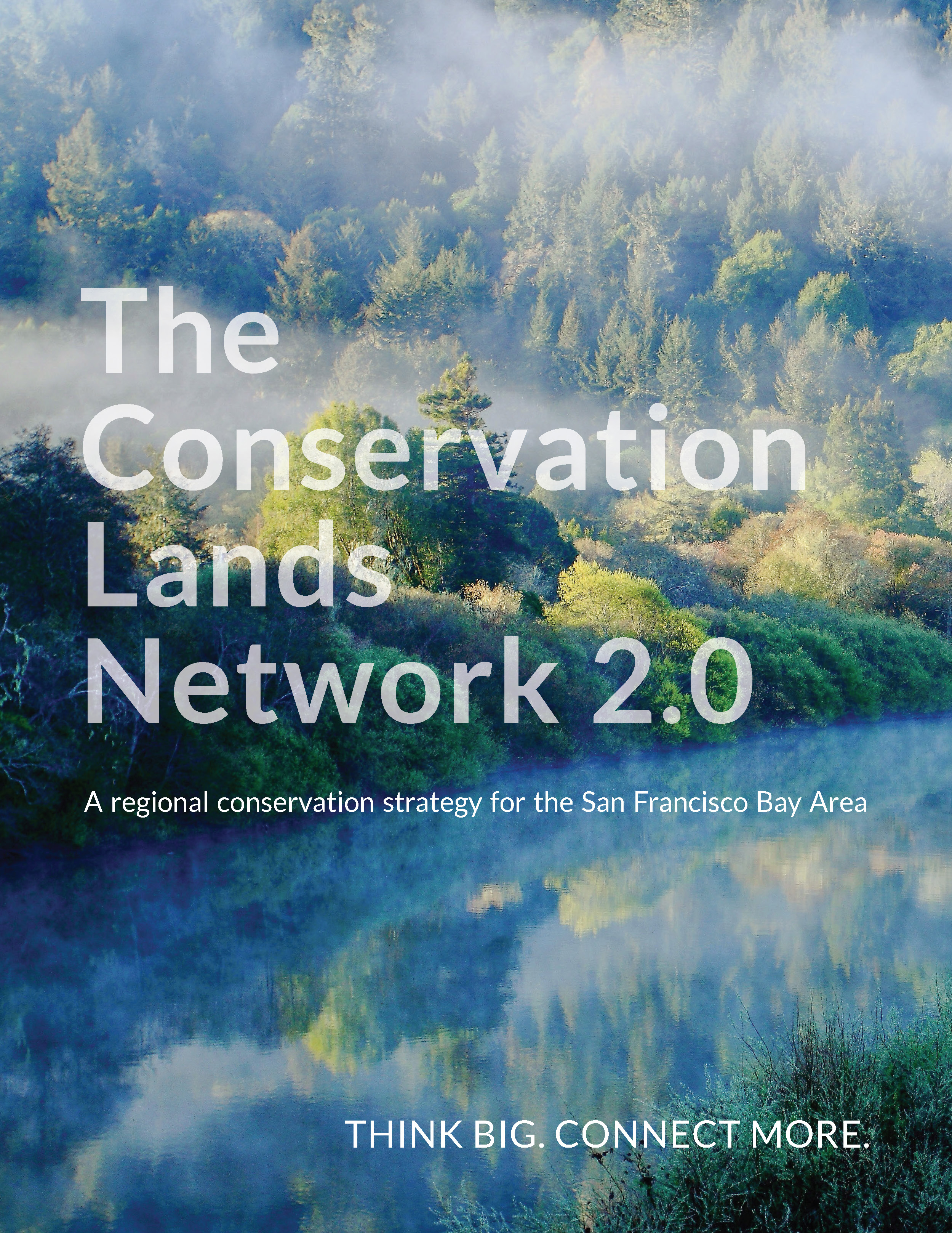
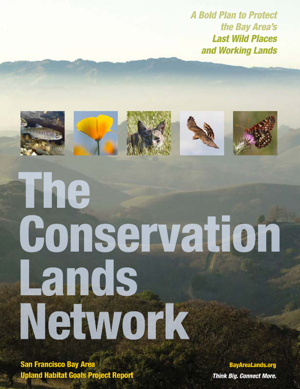
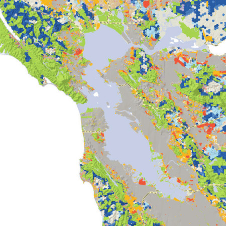
CONSERVATION LANDS NETWORK
The configuration of Bay Area habitats and linkages needed to meet the goals for biodiversity conservation. This includes lands already protected as well as those proposed for conservation; it is a guide and not a list of priority properties. The Conservation Lands Network is best explored through the maps and CLN Explorer tool.
The Conservation Lands Network is best explored through the maps and CLN Explorer tool.
CONSERVATION LANDS NETWORK FOCUS TEAMS
Experts in a range of subjects who provide guidance on the vegetation, animal, and ecosystem service “conservation targets” (see conservation targets).
CONSERVATION LANDS NETWORK STEERING COMMITTEE
A selected group of conservation, planning, and science professionals who provide strategic guidance and input on the Conservation Lands Network Science Expansion project.
CONSERVATION PLANNING
The systematic process of identifying areas important for conserving biological diversity or other open space values. The result of this planning process is a network of lands that best conserves all elements of biodiversity within the planning area and strategies to permanently protect the network and maintain ecosystem health.
CONSERVATION TARGETS
A conservation target is the biological attribute or value of the land that is the focus of a conservation project. It may be a species, biological community, ecological process, or socio-ecological value such as open space. There may be more than one target for any project. (From LandScope)
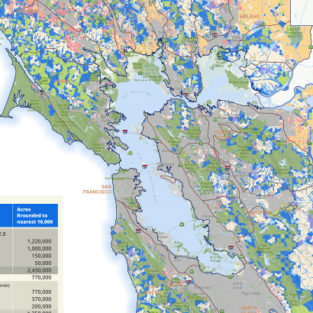
CONSERVED OR PROTECTED AREAS
Natural and working lands permanently protected by fee title ownership or conservation easement preventing conversion to uses incompatible with biodiversity conservation. These lands are tracked in the Bay Area Protected Areas Database, BPAD. Also called existing protected lands.
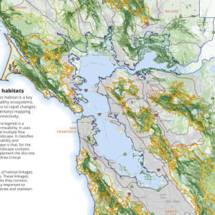
CORRIDOR (“WILDLIFE” OR “HABITAT”)
Any space usually linear in shape that improves the ability of organisms to move among patches in their habitat. Some specific corridors: Seasonal Migration Corridor Used by wildlife for annual migratory movements between source areas (e.g. winter and summer habitat). Dispersal Corridor Used for one-way movements of individuals or populations from one resource area to another. Commuting Corridor Link habitat elements to support daily movements including breeding, resting and foraging.
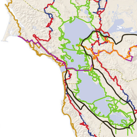
CRITICAL LINKAGES
A project led by SC Wildlands and the Bay Area Open Space Council that identified 14 linkages – or landscape-scale wildlife corridors – in the Bay Area and surrounding mountain ranges. The project concluded in 2013. The Linkages are available on the Reports, Maps & Data page.
IRREPLACEABILITY
The relative importance of certain areas being included in the CLN in order to meet all the habitat and species conservation target goals.
LAND CONSERVATION
The practice of protecting, preserving, and stewarding land that has not been developed or has been restored or enhanced for natural resource values and biodiversity. Includes open spaces, parks, preserves, trails, refuges, and working lands.
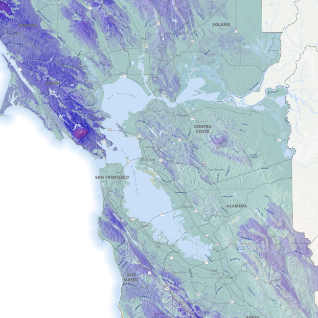
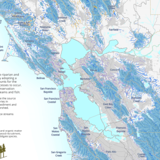
LANDSCAPE RESILIENCE
The ability of a landscape to sustain desired ecological functions, robust native biodiversity, and critical landscape processes over time, under changing conditions, and despite multiple stressors and uncertainties (from Beller et al. 2018).
The ‘Landscape Resilience’ dataset provided by The Nature Conservancy and available in the CLN 2.0 Explorer is an index that indicates the presence and accessibility of microhabitat options by quantifying both the permeability of the landscape and the diversity in potential “wetness” and “heat” based on topography.
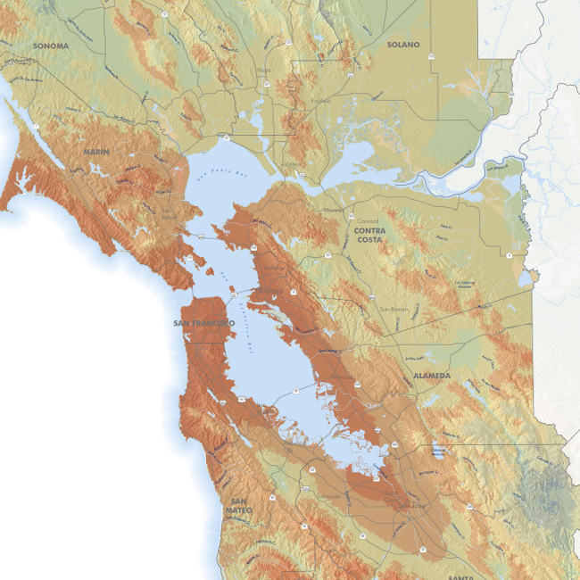
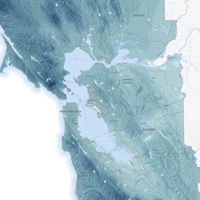
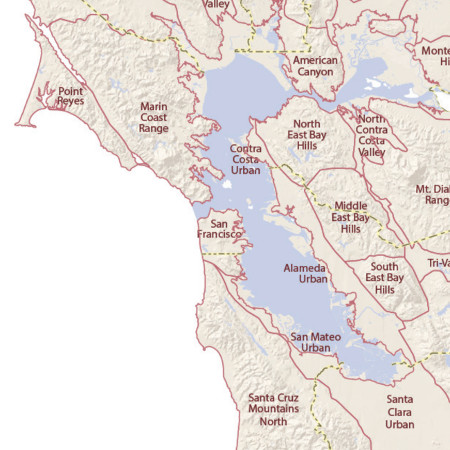
LANDSCAPE UNITS
A geographic division of the Upland Habitat Goals Project study area; developed by the project team to create geographically coherent units that are based on physiographic features such as mountain ranges and valley bottoms.
LINKAGE
A large-scale, intact corridor that facilitates wildlife movement between habitat areas that is essential for maintaining biodiversity and healthy ecological processes at the landscape level. Although the term is frequently used synonymously with corridor, ‘linkage’ technically refers to broader regions of connectivity important to facilitate the movement of multiple species and maintain ecological processes.
MARXAN
Conservation planning software designed to assist in developing a near-optimal spatial reserve design that achieves specified biodiversity representation goals. Marxan was developed at the University of Queensland and can be downloaded at no cost at www.uq.edu.au/marxan.
OPEN SPACE
Land that is undeveloped or lightly developed that naturally acts as habitat for plants and animals, provides space for geophysical and ecological processes, and provides countless benefits to humans (e.g., groundwater recharge, recreation, visual respite, community aesthetics). As such, open space is considered a socio-ecological value.
PERMEABILITY (LANDSCAPE)
The degree to which regional landscapes, encompassing a variety of natural, semi-natural and developed land cover types, are conducive to wildlife movement and sustain ecological processes.
PLANNING UNITS
In Marxan, a planning unit is the basic unit at which a decision is being made (i.e., included in the CLN or not). The Marxan analysis to produce the CLN uses a regular “grid” of 100-ha (250-acre) hexagons as the planning units.
RANGELAND
Land on which the existing vegetation, whether growing naturally or through management, is suitable for grazing or browsing of domestic livestock for at least a portion of the year. Rangeland includes any natural grasslands, savannas, shrublands (including chaparral), deserts, wetlands, and woodlands (including Eastside ponderosa pine, pinyon, juniper, and oak) which support a vegetative cover of native grasses, grasslike plants, forbs, shrubs, or naturalized species.” (CA Public Resources Code section 4789.2e.)
STEWARDSHIP
The practice of appropriately taking care of a piece of land or a landscape to maintain and improve ecological function.
SUBTIDAL HABITATS
All of the submerged area beneath the bay’s water surface including mud, shell, sand, rocks, artificial structures, shellfish beds, eelgrass beds, macroalgal beds, and the water column above the bay bottom. The focus of the San Francisco Bay Subtidal Habitat Goals Project.
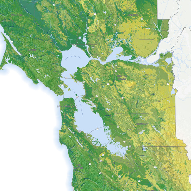
UPLAND HABITATS
As used in this project, refers to all habitats found above the baylands, which were the subject of the Baylands Ecosystem Habitat Goals and therefore not included in the Upland Habitat Goals Project.